
Picture this: tracking wildlife herds from above, gauging the health of a remote forest, or pinpointing a pollution source in a river system—all in real time. This isn't science fiction; it's the new reality made possible by drones for environmental monitoring. These unmanned aerial vehicles (UAVs) have quickly gone from being niche gadgets to essential tools for scientists, ecologists, and conservationists around the globe.
The Future of Conservation Is Airborne
Drones are so much more than just flying cameras. Think of them as sophisticated, flying scientific instruments that are causing a huge shift in how we understand and protect our planet. For decades, environmental work meant slow, expensive, and often dangerous ground surveys. Researchers would have to trek through incredibly difficult terrain, and the data they came back with was just a tiny snapshot of a much bigger picture.
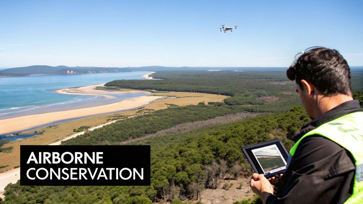
That old way of doing things is being replaced by fast, safe, and incredibly detailed aerial data collection. A drone can map an area in a few hours that would take a ground team days to cover. This efficiency doesn’t just save time and money; it fundamentally improves the quality and regularity of the information we can gather.
A New Perspective on Environmental Management
The real game-changer with drones is the bird's-eye view they provide, packed with a level of detail we've never had before. This unique vantage point helps scientists spot patterns, trends, and changes that are completely invisible from the ground. It’s why drones have become such a critical tool in the field of environmental geography, opening up entirely new streams of data for analysis.
Just look at what’s now possible:
- Post-Bushfire Recovery: Drones with specialised sensors can fly over a fire-ravaged landscape to map the damage and, crucially, find surviving pockets of vegetation that can kickstart natural regeneration.
- Wildlife Tracking: Using thermal cameras, drones can pick up the heat signatures of animals, making it much easier to count populations of shy or nocturnal species without stressing them out.
- Habitat Management: High-resolution imagery lets us track changes in ecosystems over time, whether it's monitoring coastal erosion or mapping the slow creep of an invasive weed.
By providing a repeatable, non-invasive method for data collection, drones allow for consistent monitoring. This creates a reliable timeline of an ecosystem's health, helping conservationists make proactive rather than reactive decisions.
Australian Innovation in Aerial Monitoring
Here in Australia, drones have become a go-to technology for managing our natural resources and keeping tabs on wildlife. Since the early 2010s, ecological researchers have been using UAVs to get far more accurate population counts.
For instance, drone surveys in fragmented habitats across New South Wales recorded wildlife with up to 70% greater accuracy compared to traditional ground-based methods. This shift also led to a 40% reduction in field personnel costs and allowed for a 60% increase in survey frequency, massively improving the quality of environmental data we can get from remote and rugged areas. These findings have had a huge impact on how conservation work is done.
Picking the Right Drone and Sensor Tech
When you’re gearing up for environmental monitoring, the hardware you choose isn't just a small detail—it's everything. Not all drones are built the same, and picking the right airframe and sensor payload is your first, most critical step towards gathering data that's actually useful. Think of it like choosing between a nimble helicopter and a long-range aeroplane; each is designed for a completely different job.
To make the right call, you need to understand the fundamental differences between the main types of drones. For most environmental work, you'll be deciding between two platforms, each with its own set of strengths.
Multi-Rotor Drones: The Agile Surveyors
Multi-rotor drones, like the quadcopters you see everywhere, are the helicopters of the drone world. They can take off and land straight up and down, hover perfectly still, and weave through tricky spots with ease. This agility is their superpower.
A multi-rotor can dip low over a dense forest canopy, get up close to a cliff face to check for erosion, or carefully map a small, complex wetland. Their stability in the air makes them perfect for any job that needs a close-up look or detailed data capture in a tight space.
But there’s a trade-off. Multi-rotor drones usually have shorter flight times—often around 20 to 40 minutes—and can't cover as much ground as their fixed-wing cousins. They are absolutely the right choice for targeted, high-detail surveys, not for mapping huge areas.
Fixed-Wing Drones: The Endurance Champions
On the other hand, fixed-wing drones are the aeroplanes of the UAV world. They look and fly like a classic plane, built for efficiency and staying in the air for a long time. They typically need a bit of a runway or a catapult to get going and a clear space to belly-land or deploy a parachute.
What they give up in hovering ability, they more than make up for in sheer coverage. A single flight with a fixed-wing drone can last for an hour or more, letting you map hundreds, sometimes even thousands, of hectares in one go. This makes them the obvious choice for large-scale environmental projects.
Think about jobs like:
- Mapping enormous farms to check on crop health across every single field.
- Surveying long stretches of coastline to track how erosion is changing the landscape over time.
- Conducting wildlife counts over wide-open plains or savannahs.
If your project is all about covering a lot of ground efficiently, a fixed-wing drone is almost always the better tool for the job.
The Drone’s Eyes: Choosing the Right Sensor
Of course, the drone itself is just the taxi. The real science happens with the sensor it’s carrying. This payload is the 'eye' of your operation, capturing information that goes way beyond what a normal camera can see. Matching the right sensor to your drone and your mission is what separates a successful project from a failed one.
Here’s a rundown of the most common sensors you’ll encounter in environmental work:
-
RGB (Red, Green, Blue) Cameras: These are essentially high-powered digital cameras, capturing detailed, true-to-life colour images. We use them to build photorealistic 3D models and high-resolution maps (called orthomosaics) that are perfect for visually assessing things like land use, deforestation, or the condition of a particular habitat.
-
Thermal Sensors: Instead of visible light, these sensors see heat. This makes them incredibly valuable for tracking wildlife, as they can easily pick out a warm-bodied animal against a cooler background—even at night or through thick foliage. They're also used to spot changes in water temperature or find sources of thermal pollution.
A thermal sensor can be a complete game-changer for conservation. For example, after a bushfire, these sensors are used to find surviving koalas by detecting their body heat in the treetops, guiding rescue teams with amazing accuracy.
-
Multispectral and Hyperspectral Sensors: These are the real heavy-hitters. They capture light from specific bands across the electromagnetic spectrum, many of which are invisible to us. By analysing how plants reflect different types of light, we can learn an incredible amount about their health, stress levels, and even identify different species from the air.
-
LiDAR (Light Detection and Ranging): LiDAR works by shooting thousands of tiny laser pulses at the ground and measuring how long they take to bounce back. This creates an unbelievably accurate 3D map of the landscape, called a point cloud. It's so precise it can see through a forest canopy to map the ground underneath, making it the gold standard for creating the digital elevation models used in hydrology and erosion studies.
Choosing the right combination of drone and sensor can feel overwhelming, but it really comes down to what you need to achieve. The table below breaks down some common environmental tasks and pairs them with the most suitable technology to help guide your decision.
Matching Drones and Sensors to Environmental Tasks
| Monitoring Task | Recommended Drone Type | Primary Sensor | Key Benefit |
|---|---|---|---|
| Wetland Health Assessment | Multi-Rotor | Multispectral | Detailed vegetation health analysis in a complex, small-scale environment. |
| Coastal Erosion Mapping | Fixed-Wing | RGB or LiDAR | Efficiently covers long coastlines to create precise elevation models over time. |
| Post-Fire Wildlife Rescue | Multi-Rotor | Thermal | Can slowly and quietly scan treetops to locate surviving animals by body heat. |
| Large-Scale Reforestation Survey | Fixed-Wing | RGB & Multispectral | Maps vast areas to count saplings and assess the health of new growth. |
| River System Hydrology Study | Fixed-Wing or Multi-Rotor | LiDAR | Creates highly accurate terrain models to predict water flow and flood risk. |
| Invasive Species Detection | Multi-Rotor | Hyperspectral | Identifies unique spectral signatures of invasive plants for targeted removal. |
Ultimately, the best setup is the one that gives you the exact data you need, in the most efficient way possible. By starting with your mission goals and working backward, you can confidently select a drone and sensor package that will deliver real results in the field.
Planning and Executing Your Field Mission
Having the right drone and sensor is a great start, but successful environmental monitoring really comes down to solid planning and a bit of finesse out in the field. A well-thought-out mission workflow is what turns your gear from a cool gadget into a serious scientific tool. It’s how you guarantee that every flight brings back consistent, high-quality data. This whole process kicks off long before the propellers even start spinning.
The entire workflow can be broken down into a few key stages, from picking your technology to pinpointing the exact environmental task you need to get done.
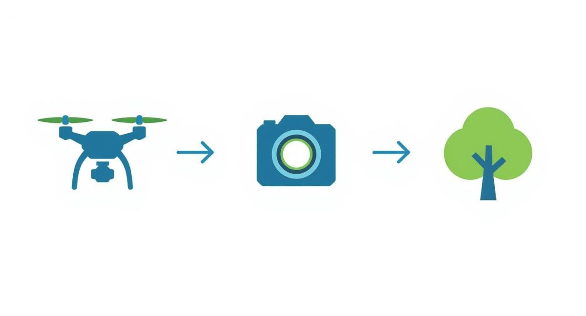
This visual really nails the connection between the drone platform, its sensor payload, and the specific environmental goal, showing how each choice directly shapes the next.
Designing Your Automated Flight Plan
The backbone of any good mission is the flight plan you create beforehand. These days, nearly all environmental surveys rely on automated flight paths designed in specialised software. You can think of it as laying down a set of digital "train tracks" in the sky for your drone to follow perfectly, time and time again.
This automated approach is absolutely crucial for scientific rigour. By programming the drone’s altitude, speed, and when the camera clicks, you make sure the data you collect today can be directly compared to what you gather months or even years down the track. It’s this repeatability that lets you spot subtle environmental changes over time with real confidence.
Your flight plan will usually involve locking in a few key parameters:
- Area of Interest (AOI): This is where you draw the exact boundaries of your survey area on a digital map.
- Image Overlap: You'll set how much each photo overlaps the next one—usually 70-80%—which is vital for stitching the images into a seamless map later.
- Altitude: Deciding how high to fly. This directly impacts the ground resolution of your final map.
- Gimbal Angle: Setting the camera's pitch. For most mapping jobs, you'll have it pointing straight down (what we call nadir).
Your Pre-Flight Safety Checklist
Once the mission is planned, safety is everything. A thorough pre-flight check is non-negotiable; it’s what protects your gear, your team, and the environment itself. This isn't just a quick look-over—it's a systematic routine.
Before you even think about launching, you must run through a physical check of the drone, confirm battery levels, get a solid GPS lock, and make sure the propellers are secure. This simple habit prevents the vast majority of technical hiccups that could otherwise derail a mission.
Beyond the hardware, you've got to size up the conditions on the ground. Always check the weather forecast for wind and rain. Bad weather can obviously damage the drone, but it can also ruin your data. On top of that, you must confirm you’re flying legally within the airspace rules set by Australia's Civil Aviation Safety Authority (CASA). That means making sure your flight path is well clear of airports, restricted zones, and any other aircraft.
Executing the Mission in the Field
Alright, with all the planning and checks done, it’s finally time to fly. For a safe take-off, you’ll need a clear, flat area away from obstacles like tall trees or powerlines. Once the drone is up, even though it’s flying an automated mission, the pilot must maintain a visual line of sight with it at all times.
Your job as the pilot is to keep an eye on the drone’s progress through the flight planning software. You'll be monitoring telemetry data like battery life, signal strength, and altitude. You also have to be ready to jump in, take manual control, and hit the "Return to Home" (RTH) button if anything unexpected pops up, like a low-flying bird or a sudden squall.
When the mission is done, the drone will usually fly back to its launch point on its own. A smooth landing is the final piece of the puzzle. Guide it down slowly, watching for wind gusts, and make sure it touches down gently before you disarm the motors. Following these steps every single time turns what could be complex fieldwork into a safe, repeatable, and very effective process.
Turning Raw Drone Data into Actionable Insights
A single drone flight can easily capture thousands of high-resolution photos and millions of individual data points. On its own, this raw data is a bit like a giant box of puzzle pieces – impressive, but not very useful. The real magic happens when you piece it all together to see the full picture, turning that flood of information into clear, practical intelligence.
This whole process kicks off with a technique called photogrammetry. Imagine digitally stitching together hundreds, or even thousands, of overlapping aerial photos. Specialised software meticulously analyses these images, finding common points to create a single, geographically accurate, high-resolution map called an orthomosaic. It can even build detailed 3D models of the terrain from the same photos.
What you end up with is a powerful digital twin of your survey area. Instead of a messy folder of individual pictures, you have one comprehensive visual asset you can measure, analyse, and compare over time. This map is the canvas for all the deeper analysis to come.
Unlocking Deeper Meaning with AI and Software
Once your orthomosaic map or 3D model is ready, the next layer of analysis can begin. This is where clever software, often powered by artificial intelligence (AI) and machine learning, starts to find the needles in the haystack. These algorithms are trained to spot specific patterns, objects, or spectral signatures in the data that would be impossible for a person to see across such a large area.
This automated analysis is what takes you from simple observation to genuine environmental insight. It lets you ask complex questions and get solid, quantitative answers – the bedrock of any effective environmental management plan.
For example, an AI algorithm can be trained to:
- Count animal populations: By recognising the unique shape and heat signature of koalas in treetops or seals on a coastline, AI can deliver population counts far faster and often more accurately than a team on the ground.
- Identify invasive species: Algorithms can pick up the distinct spectral signature of an invasive weed, automatically mapping its spread across the landscape so you can target your eradication efforts precisely.
- Assess vegetation health: Using multispectral data, software can calculate vegetation indices like NDVI (Normalised Difference Vegetation Index). This produces easy-to-read, colour-coded maps that show exactly where plants are stressed or thriving.
- Detect landscape changes: By comparing datasets from different flights, AI can automatically flag areas of deforestation, soil erosion, or coastal change with centimetre-level accuracy.
The real power of using drones for environmental monitoring isn't just about collecting the data; it's about the ability to repeatedly and systematically analyse it to measure change. This turns one-off surveys into a dynamic, ongoing monitoring program.
After processing the raw data, it's vital to apply effective strategies for robust outcome measurement to translate these findings into demonstrable results. This ensures the insights you've gained lead to meaningful, data-driven conservation decisions.
From Data Points to Conservation Decisions
The final step is to take all this analysed data and use it to inform real-world action. This is where the technical outputs from a drone mission become the basis for strategic plans and on-the-ground work.
Let’s walk through a real-world example: monitoring a reforestation project.
- Raw Data: The drone flies over a newly planted area, capturing 5,000 individual images.
- Processing: Photogrammetry software gets to work, stitching them into a single, high-resolution map.
- AI Analysis: An algorithm scans the map, identifying each sapling by its shape and colour to do an automatic count. At the same time, it uses multispectral data to create an NDVI map, highlighting patches where saplings are struggling.
- Actionable Insight: The final report shows that 92% of saplings survived. Critically, it also pinpoints a specific zone on a western-facing slope showing significant stress, most likely due to a lack of water.
- Decision: Instead of guessing or wasting resources, the conservation team can now implement a targeted watering plan for that exact zone.
This workflow shows how drones for environmental monitoring create a direct line from data collection to effective action. It allows land managers to move beyond guesswork and base their decisions on precise, objective, and timely information, which ultimately leads to much better conservation outcomes.
Where Drones Are Making a Real Difference in Conservation
It’s one thing to talk about the technology, but where the value of environmental monitoring drones really hits home is out in the field. These aren't just gadgets; they're becoming essential tools that are fundamentally changing how we protect our most vulnerable species and ecosystems. Let's look at a few real-world examples that show just how powerful they can be.
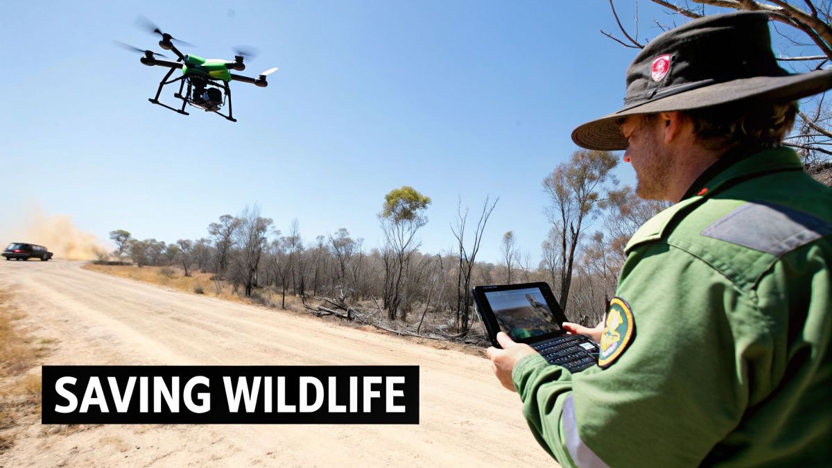
These stories go beyond the specs and manuals. They show how pairing the right drone with the right sensor can lead to genuine conservation wins.
Finding Survivors After Bushfires
After a catastrophic bushfire, the landscape is often unrecognisable—a blackened, silent expanse. For wildlife rescue teams, the task is daunting. How do you find surviving animals across vast, dangerous, and often inaccessible terrain? This is where drones with thermal cameras become a game-changer.
Picture a drone flying a precise grid pattern over a burnt-out forest. Its thermal sensor isn’t looking for colour or movement, but for heat. Against the cool, charred ground, the warm body of a koala clinging to a treetop or a wallaby huddled under a log glows brightly on the operator's screen.
This tech gives rescuers the exact GPS coordinates they need, guiding them straight to an animal in distress. It cuts out countless hours of painstaking searching on foot and dramatically boosts an animal's chance of survival. It’s a powerful way technology is bringing a bit of hope back to a devastating scene.
The Fight Against Illegal Poaching
Across the vast national parks of Africa and Asia, rangers are locked in a constant battle with poachers. Trying to patrol thousands of square kilometres by vehicle or on foot is a near-impossible task, especially at night when most illegal activity happens. Drones offer a much-needed advantage from the air.
Fitted with night-vision and thermal cameras, these drones become silent, airborne sentinels. They can patrol huge territories, spotting the heat signatures of people and vehicles from a safe distance. This allows ranger teams to coordinate their efforts and intercept poachers with far more precision and safety.
Drones essentially give rangers eyes in the sky, shifting their strategy from a reactive defence to a proactive deterrent. The simple knowledge that a drone might be watching from above is often enough to make poachers think twice.
This isn't just a concept; it's delivering results right here in Australia. Since South Australian conservation agencies started using drones in 2015, areas being monitored have seen a 30% drop in illegal activities. In Tasmania, drone surveys have yielded population counts up to 25% more precise than traditional manual methods, helping guide better conservation for iconic species like the Tasmanian devil. You can read more about these successes and the AUD 15 million in Australian Government funding to expand this work.
Keeping an Eye on Fragile Ecosystems
Beyond tracking individual animals, drones are proving indispensable for monitoring the health of entire ecosystems. They can gather data on a scale and with a level of detail that was simply out of reach before, especially in remote or sensitive locations.
- Coral Reefs: A drone flying low over a section of the Great Barrier Reef can capture incredibly high-resolution images. This lets scientists map the extent of coral bleaching with pinpoint accuracy, track recovery over time, and identify which areas are showing more resilience to warming seas.
- Wetlands: These are complex and often hard-to-reach environments, but they're bursting with biodiversity. Drones carrying multispectral sensors can analyse vegetation health and water quality, picking up on subtle signs of pollution or stress long before they'd be visible to the naked eye.
By conducting regular, repeatable flights, drones for environmental monitoring create a living, evolving record of an ecosystem's health. This allows conservationists to stop making educated guesses and start implementing strategies based on solid data, ensuring their limited resources go where they’ll make the biggest difference.
Navigating Drone Regulations and Future Trends
Flying a drone for environmental work isn’t just about having good stick skills. You’ve also got to know the rules of the sky. In Australia, the Civil Aviation Safety Authority (CASA) sets the regulations, making sure every flight is safe, legal, and professional.
These rules aren't optional, especially for any kind of commercial work—and that includes scientific research and conservation projects. They're in place to protect people on the ground, property, and other aircraft, so everyone can operate safely.
Understanding Australian Drone Laws
Getting your head around the regulations might seem a bit daunting at first, but it comes down to a few core ideas. For most professional environmental monitoring missions, you'll need to meet specific standards set by CASA.
Here’s a quick rundown of what’s usually required:
- Remote Pilot Licence (RePL): This is your personal ticket to fly. It proves you’ve got the knowledge and practical skills to operate a drone safely.
- Operator’s Certificate (ReOC): This is for the business or organisation running the drone operations. It outlines all the safety procedures and proves you have a professional system in place.
- Airspace Awareness: This one is huge. Pilots have to know exactly where they’re flying and follow the rules for operating near airports, in controlled airspace, or over towns and cities.
Following these rules isn't just about ticking boxes for compliance. It’s about setting a professional benchmark and ensuring the valuable environmental data you're collecting is gathered responsibly.
The Future of Aerial Environmental Science
Looking forward, the technology is moving at an incredible speed, and that means even better tools for environmental science are just around the corner. We're seeing smarter artificial intelligence being built right into drone systems, which will allow for real-time data analysis while still in the field.
Picture this: a drone spots an invasive weed species and, within seconds, maps its exact location and spread for a ground crew to deal with. That’s where we’re heading.
We’re also on the cusp of seeing autonomous drone swarms take flight for continuous, large-scale monitoring. Imagine a whole fleet of drones working together to patrol a national park 24/7 or keep an eye on a changing coastline. Drones are also becoming active players in restoration, doing things like precision seed planting to help reforest areas hit by bushfires. They're shifting from being passive observers to active helpers.
This evolution is making data collection faster and cheaper. For instance, recent research projects in Melbourne and Sydney used drones with air quality sensors to pinpoint pollution hotspots, cutting data collection time by about 50% compared to old-school methods. This kind of drone-based monitoring is also proving to be around 30% more cost-efficient than sending teams out to do manual surveys.
Your Questions Answered
Dipping your toes into the world of drones for environmental monitoring often brings up a heap of practical questions. Getting straight answers is the first step to planning an operation that's both successful and by the book. Let's tackle some of the most common queries we get from researchers, conservationists, and land managers.
These are the real-world considerations—cost, operational limits, and legal stuff—that can make or break a project. Nailing these details turns a great idea into a solid field strategy.
How Much Will a Professional Environmental Drone Set Me Back?
The price tag on a professional drone setup can swing wildly, depending less on the drone itself and more on the sensors you need to bolt onto it. For a solid starting point, you’re looking at around $5,000 to $10,000 AUD. That gets you a dependable multi-rotor drone kitted out with a high-resolution camera, which is perfect for general mapping and visual surveys.
But if you're diving into more complex scientific work, the costs climb. Specialised gear like LiDAR sensors for detailed terrain modelling or top-tier thermal cameras for wildlife counts will push the total investment well past $30,000 to $50,000 AUD. Don't forget to budget for the extras, too—things like processing software, proper pilot training, and official certification all add up.
Can These Drones Actually Fly in Bad Weather?
Not really. Most commercial drones have pretty firm limits when it comes to weather. While many are built tough enough to handle a decent breeze, usually up to 30-40 km/h, flying in heavy rain is a definite no-go. Water and sensitive electronics are a bad mix, and rain can completely throw off your sensors, making the data useless.
Sure, there are specialised, weather-sealed industrial drones out there that can handle harsher conditions, but they come with a seriously hefty price tag. The golden rule is simple: always check the manufacturer’s specs and the local weather forecast before you even think about taking off.
Do I Really Need a Licence to Fly a Drone for Environmental Work?
In Australia, the answer is a firm yes for almost any professional project. The Civil Aviation Safety Authority (CASA) requires you and your organisation to be certified to ensure every flight is conducted safely and professionally.
It generally boils down to two key certifications:
- Remote Pilot Licence (RePL): This is for you, the individual pilot.
- Operator’s Certificate (ReOC): This is for the business or organisation running the flights.
For any kind of commercial or research-based drone work, following these rules isn't optional—it's essential.
At Innoflight International, we build advanced unmanned aerial systems for the tough demands of environmental science. Whether you need heavy-lift platforms, high-precision LiDAR, or agricultural survey drones, our solutions are designed for accuracy and reliability. For a system built with integrity and performance, explore our expert solutions.