
Real-Time Kinematic positioning, better known as RTK GPS, is a powerful technique that takes standard GPS data and corrects its errors on the fly. It's the difference between knowing you're on the right street versus knowing you're standing on a specific manhole cover.
This isn't just a minor upgrade. We're talking about shrinking positioning errors from several meters down to just a couple of centimeters.
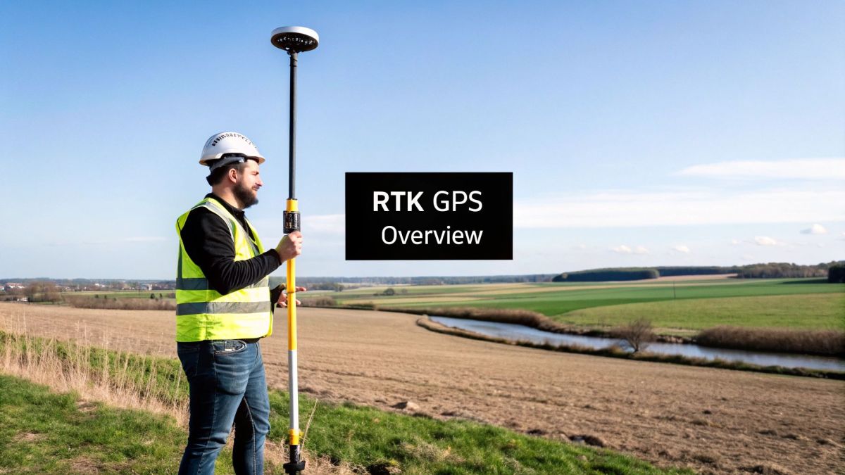
So, How Does It Actually Work?
At its core, RTK refines the signals we get from the Global Positioning System. While the original GPS network was a military invention designed for broad navigational purposes, RTK is the secret sauce that makes it precise enough for demanding professional work.
It cleverly uses a stationary base station with a known location to identify and calculate errors in the satellite signals. These correction data are then sent in real-time to a moving receiver (like one on a drone or tractor), allowing it to pinpoint its location with incredible accuracy. This real-time correction is what makes it so valuable for jobs where every centimeter counts.
The technology fundamentally changes what's possible in fields like drone surveying, precision agriculture, and construction, where even a small miscalculation can lead to costly mistakes.
For a deeper dive into how this technology is used, you can check out some of our other articles on RTK.
Standard GPS vs RTK GPS Accuracy
To really grasp the difference, it helps to see the numbers side-by-side. Standard GPS is fantastic for everyday navigation, but it simply can't compete when professional-grade precision is on the line.
| Feature | Standard GPS | RTK GPS |
|---|---|---|
| Typical Accuracy | 2-5 meters (6-16 feet) | 1-2 centimeters (under an inch) |
| Correction Method | None (relies on raw satellite data) | Real-time corrections from a base station |
| Common Use Cases | Car navigation, hiking, fitness tracking | Land surveying, drone mapping, precision farming |
| Equipment Needed | Single GPS receiver (e.g., smartphone) | Base station and a "rover" receiver |
As you can see, RTK isn't just a little more accurate—it's in a completely different league. This leap in precision unlocks capabilities that are simply impossible with standard GPS.
How RTK Achieves Pinpoint Accuracy
So, what’s the secret behind RTK's incredible precision? It’s not magic, but a clever two-part system: a base station on the ground and a rover on the move.
Think of the base station as an anchor point. It’s a GPS receiver placed at a precisely known, fixed location. From this stationary spot, it’s constantly listening to the same satellite signals your drone is, but it has one key advantage—it knows exactly where it is. Because of this, it can instantly spot the small errors and delays in the satellite signals caused by atmospheric interference.
The rover—your drone, tractor, or survey pole—is also listening to those same satellite signals, complete with all their atmospheric errors. But here’s where the teamwork comes in. The base station calculates the error it's seeing and immediately broadcasts a correction message to the rover.
This real-time data stream tells the rover, "Hey, the satellite signal is off by this much right now." The rover then applies that correction to its own position calculation, effectively canceling out the atmospheric noise.
This constant back-and-forth happens in a simple, three-step flow, as you can see here:
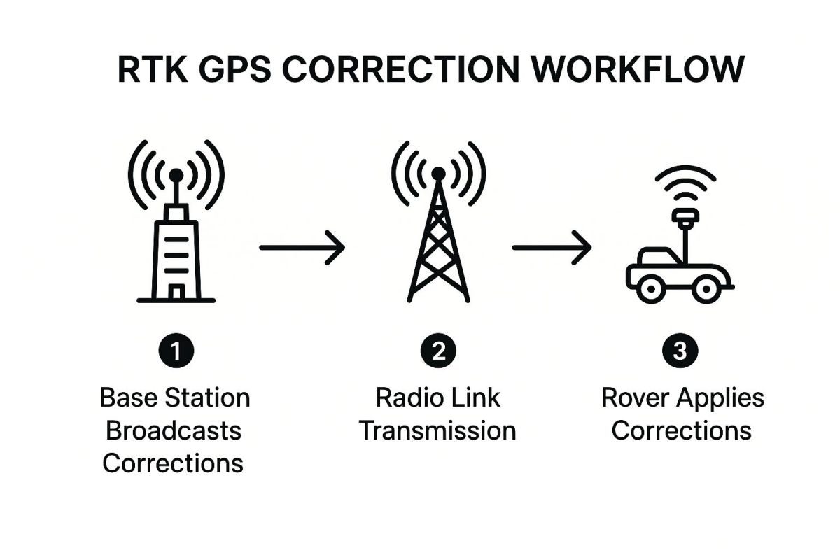
By having that fixed reference point on the ground, the system filters out the GPS "static" and allows the rover to calculate its position down to centimeter-level accuracy. It’s the difference between knowing you’re on the right street and knowing you’re standing on a specific manhole cover.
What Are the Key Parts of an RTK System?
An RTK setup isn't just one piece of equipment. Think of it as a team of three components working together seamlessly to upgrade a standard GPS signal into a hyper-accurate positioning tool.
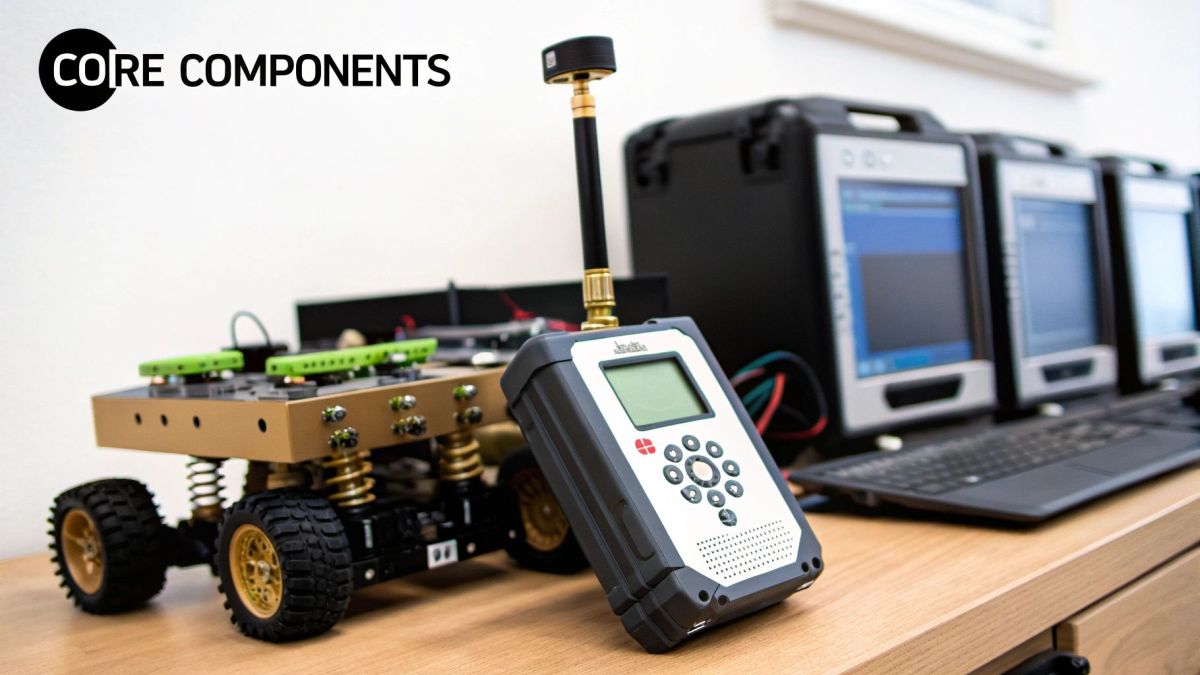
So, what’s in the box? A typical RTK system includes:
- A Base Station: This is a GNSS receiver placed at a fixed, precisely known location. It stays put and acts as the stationary reference point.
- A Rover Receiver: This is the mobile unit. It’s mounted on your drone, tractor, or surveying pole—whatever needs the precise location data.
- A Communication Link: This is the invisible string connecting the base and rover, usually a radio or cellular modem that transmits the all-important correction data.
This kind of high-precision technology first became commercially available back in 1994, opening the door for widespread use. You can see how modern systems like the INF RTK V2 and Base Station package these essential components together today.
So, Why Isn't Regular GPS Good Enough?
We all have GPS in our pockets. It gets us across town, no problem. So why do surveyors, farmers, and drone pilots need something so much more advanced? It all comes down to the tiny, invisible errors that sneak into every satellite signal.
Imagine you're trying to listen to a friend whisper from across a big, echoey room. The signal gets distorted. That's exactly what happens to GPS signals as they travel from space. They get warped by the atmosphere, thrown off by tiny inaccuracies in the satellite's clock, and can even bounce off buildings before they reach your receiver.
All this "signal noise" adds up, knocking the accuracy down to a few meters. That's fine for finding the nearest pizza place, but it's a deal-breaker for professional work.
For a farmer trying to plant perfectly straight rows or a surveyor mapping out a new construction site, being off by a few meters just doesn't work. Precision is everything.
This is exactly the problem that RTK GPS was designed to solve. It's a clever way to filter out all that noise, delivering the kind of accuracy that professional jobs demand.
Real-World Applications of RTK Technology
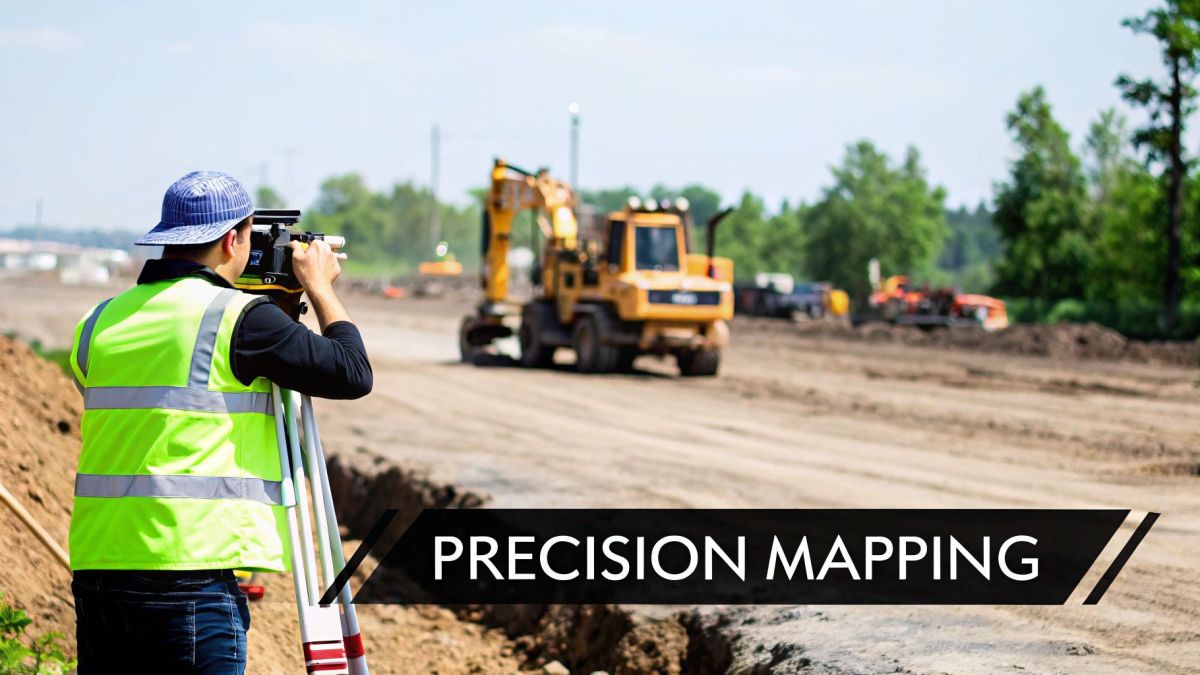
This is where the theory behind RTK GPS really shines. Once you see it in action, you get a true sense of its power. Let's look at a few industries where this technology isn't just an upgrade—it's a complete game-changer.
Precision Agriculture
In precision agriculture, RTK is the magic behind self-steering tractors. These machines can plant seeds, spray fertilizers, and harvest crops with sub-inch accuracy, following the exact same path every single time.
This incredible precision means less overlap, which drastically cuts down on wasted seed, fuel, and chemicals. The result is higher crop yields and a much healthier bottom line, a critical factor in modern agriculture yield profit estimation.
Drone Surveying and Mapping
For drone surveying, RTK has been a massive breakthrough. Before, creating an accurate 3D map or model required painstakingly placing dozens of ground control points (GCPs) across a site. This was slow, expensive, and often a logistical nightmare.
With an RTK-enabled drone, you can eliminate most—if not all—of those GCPs. The drone knows its exact position in real-time, allowing crews to produce highly accurate maps and models while saving hundreds of hours of fieldwork. This efficiency has made RTK a go-to tool for construction, land management, and infrastructure inspection.
While RTK delivers that crucial data on the spot, it's not the only high-precision positioning method out there. You can learn about other approaches in our guide on post-processing workflows at https://evolutionflight.com/ppk-ppp-solutions/.
The benefits of RTK extend far beyond these two examples. Its ability to provide reliable, centimeter-level accuracy has made it an essential tool for professionals who can't afford to be wrong.
Impact of RTK GPS Across Industries
| Industry | Task | Benefit of RTK Integration |
|---|---|---|
| Construction | Site Layout & Grading | Ensures foundations, roads, and utilities are placed with millimeter precision, preventing costly rework. |
| Surveying | Topographic Mapping | Drastically reduces field time and improves the accuracy of land surveys and 3D models. |
| Mining | Fleet Management | Tracks vehicles and equipment with high accuracy, optimizing routes and enhancing on-site safety. |
| Unmanned Vehicles | Autonomous Navigation | Provides reliable positioning for self-driving cars, delivery drones, and robots to navigate safely. |
| Archaeology | Site Excavation | Allows for precise mapping of artifacts and features, preserving the spatial context of historical finds. |
From guiding massive earthmovers to mapping historical sites, RTK technology provides the confidence and accuracy needed to execute complex jobs with remarkable efficiency.
From DGPS to Modern RTK
RTK didn't just pop into existence overnight. It's the result of a steady march of innovation, building on older, less precise positioning methods.
You have to go back to the 1980s to find its roots in a technology called Differential GPS (DGPS). DGPS was the first real attempt to tighten up the sloppy accuracy of standard GPS, taking it from a multi-meter guessing game down to something closer to a single meter. It was a big step forward and laid the foundation for everything that came next.
The real game-changer, though, arrived in the early 1990s when the first commercially viable RTK systems hit the market. For the first time, we could get centimeter-level accuracy. These early systems were clunky by today's standards—they were single-frequency, needed a perfect, unobstructed view of the sky, and were held back by the slow processors of the era.
But the core idea worked, and it set the stage for the powerful tools we rely on today. You can see more about the key milestones in RTK's development to get the full picture.
Still Have Questions About RTK GPS?
It's totally normal to have a few questions when you're digging into a technology as powerful as RTK. Let's tackle a couple of the most common ones we hear.
First up: how accurate is it really? While we talk a lot about centimeter-level precision, it's not a magic number that happens every time. Real-world conditions matter. Things like a clear view of the sky for good satellite lock and how far you are from your base station can definitely impact the final accuracy you get on the ground.
Another great question is about where this all came from. RTK didn't just appear out of nowhere; it stands on the shoulders of giants. The whole GPS system is a story of incredible innovation. Think about it—the introduction of atomic clocks into satellites back in the mid-1970s was a game-changer. That foundational work is what allows RTK to deliver those pinpoint-accurate, real-time corrections today. If you're a history buff, you can get the full story over at The Aerospace Corporation.
At Innoflight Technology, we're all about putting the full power of RTK to work in our advanced drone solutions for surveying, agriculture, and more. See what's possible with our systems at https://evolutionflight.com.
Article created using Outrank