

Correlator3D™ is a patented end-to-end photogrammetry solution for the generation of high-quality geospatial data from satellite and aerial imagery, including drones.
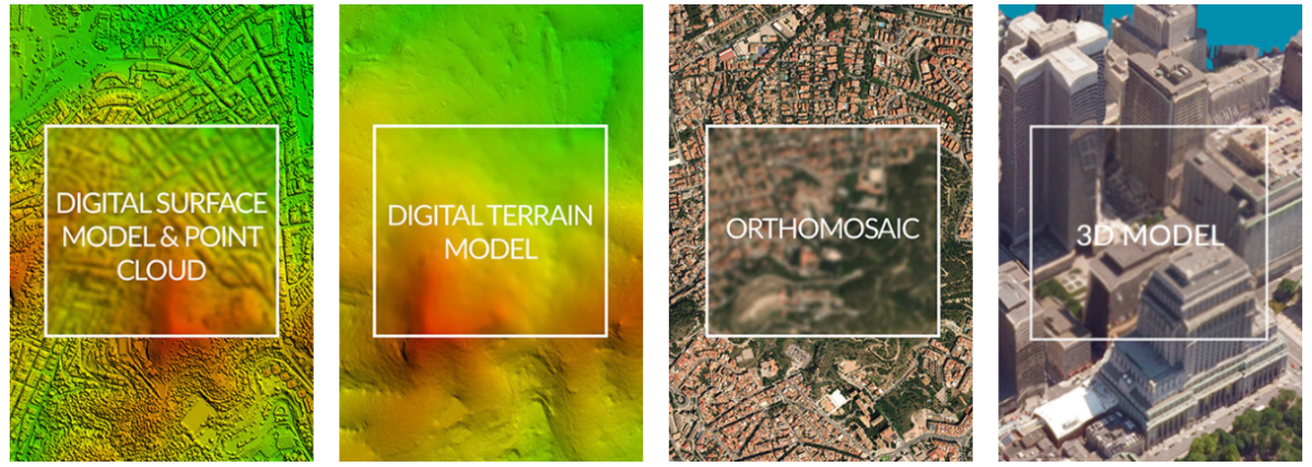
Correlator3D™ performs aerial triangulation (AT) and produces dense digital surface models (DSM), digital terrain models (DTM), point clouds, orthomosaics, 3D models and vectorized 3D features.
Powered by GPU technology and multi-core CPUs, Correlator3D™ ensures matchless processing speed to support rapid production of large datasets.

Additional Tools
- GCP creation;
- Tie point editing;
- DEM editing;
- Mosaic editing;
- 3D feature extraction;
- Contour extraction;
- Point cloud extraction and colorisation;
- Volume calculation;
- 3D change detection;
- Script mode and command line;
- Multispectral data processing;
- NDVI map creation;
- DEM inspection.