
Surveying & mapping
From aerial imagery to a clearer picture.
Connect an aircraft, camera, GNSS positioning and photogrammetry software around the data your project needs.
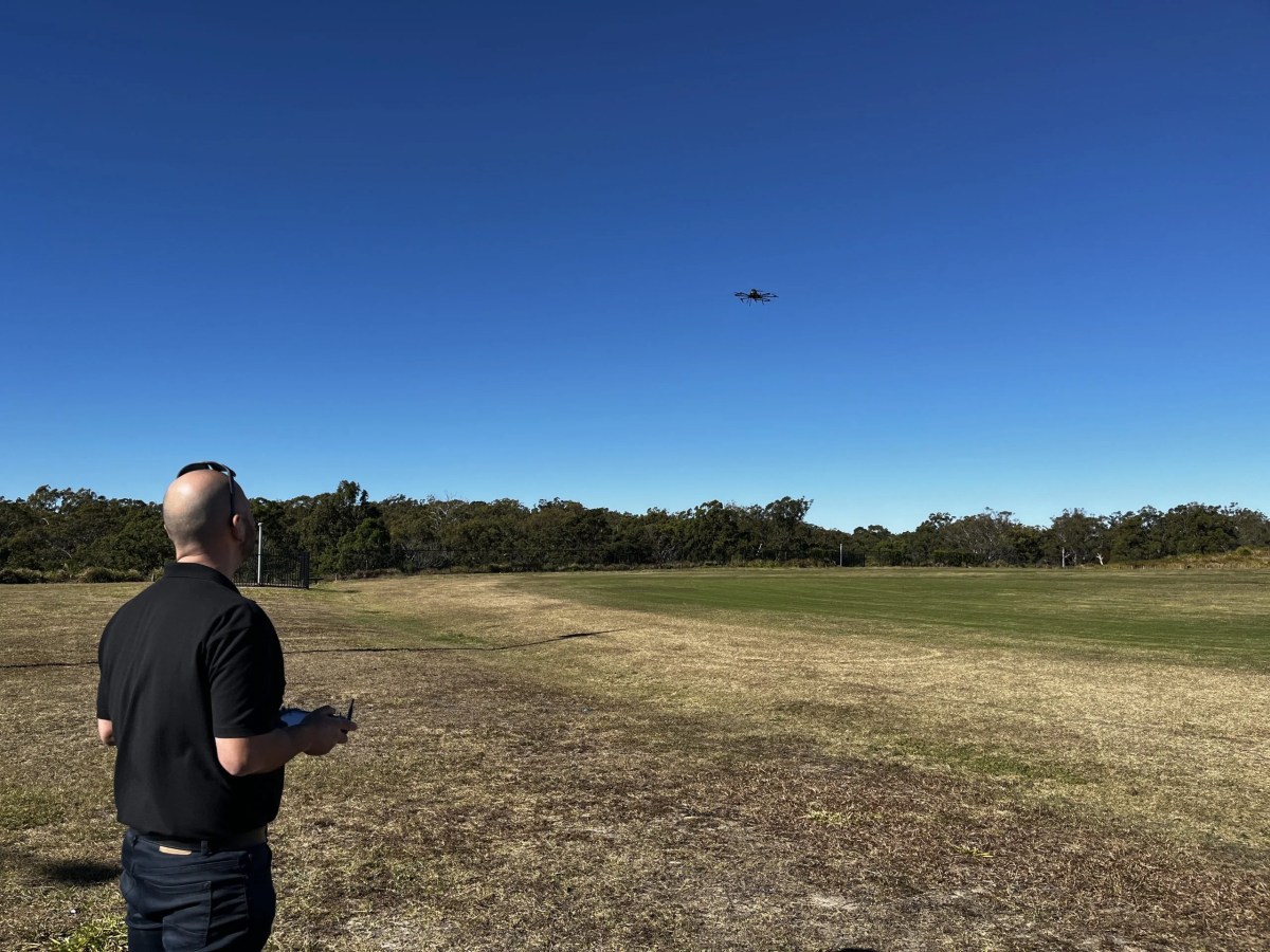
Plan the complete setup
Surveying & mapping
Start with the area to cover, required ground sampling distance and deliverables. We can discuss the airframe, camera integration and positioning workflow together.
Start with these requirements
- Area and terrain to survey
- Required image resolution and accuracy
- Camera, lens and total payload weight
- Ground control and final data formats
Connect the components
From platform to result.
Choose the airframe
Compare Patriot and Kestrel, then confirm the complete configuration.
Compare aircraftCamera and positioning requirements
Review your sensor and its mechanical, electrical and data interfaces.
Explore integrationCorrelator3D photogrammetry
Orthomosaics, surface models and 3D models, depending on the selected camera, processing and survey method.
Explore the workflowLet's talk about your missionYour payload.
Your payload.
Our expertise.
Tell us what you need to carry, where you operate, and what success looks like.
Find your solution